

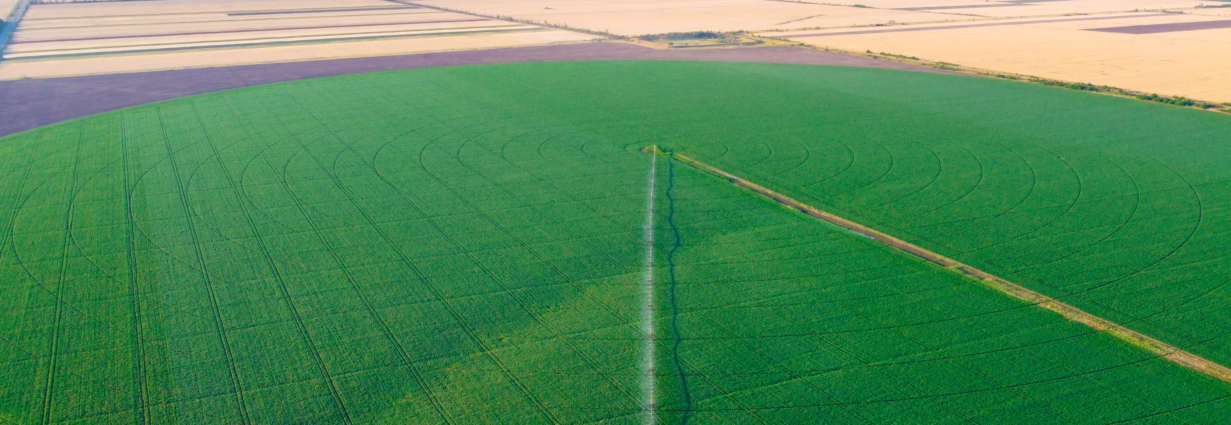
Field Monitoring (Visual Inspection)
What it is
Remote observation of the field from above for rapid crop health assessment and pinpoint detection of problem areas.
How it is done
- Surveying the territory at a specified altitude.
- High-resolution (4K) photo and video capture.
- Identifying emergence gaps, weed patches, diseases, or weather damage.
- Detailed macro filming of suspicious zones upon request by the agronomist.
What it is for
Time savings. It allows you to see the actual picture across the entire area (even in hard-to-reach locations) and make prompt decisions regarding treatment or fertilization.
3D Elevation and Terrain Map
What it is
Digital Surface Model (DSM) / Digital Terrain Model (DTM) that visually demonstrates elevation changes, slopes, depressions, and natural water runoff directions.
How it is done
- Continuous aerial surveying of the area with precise frame overlap.
- Geodata processing and 3D model construction in specialized software.
- Heatmap generation, color-coding the highest and lowest points of the landscape.
What it is for
Predicting water stagnation zones (crop flooding), proper planning of irrigation systems, water drainage, and path optimization for heavy machinery.
Crop Health Map (RGB Analysis)
What it is
An analytical vegetation health map generated from aerial RGB photography using specialized vegetation indices (VARI, GLI).
How it is done
- Drone flight to collect high-quality photos.
- Orthomosaic stitching and calculation of greenness indices in dedicated software.
- Color-coded mapping of the field: from dense, healthy vegetation zones to stressed areas.
What it is for
Assessing emergence uniformity and detecting issues (pests, diseases, moisture or nutrient deficiencies) before they become visible to the naked eye from the ground.
Field Mapping (Contours, Area, Segmentation)
What it is
An accurate digital field file containing the actual arable land boundaries, real area, and (if necessary) subdivision into zones of different productivity.
How it is done
- Creating an up-to-date image of the field using a drone.
- Digitizing the actual boundaries of cultivated land.
- Accurate area calculation and segment allocation.
- Exporting finished files (KML, Shapefile) for integration into agricultural software.
What it is for
A baseline for precise calculation of seed, fertilizer, and fuel rates. It helps prevent overpaying for cultivating "inactive" zones and integrates seamlessly into modern tractor monitors.