
Field Monitoring
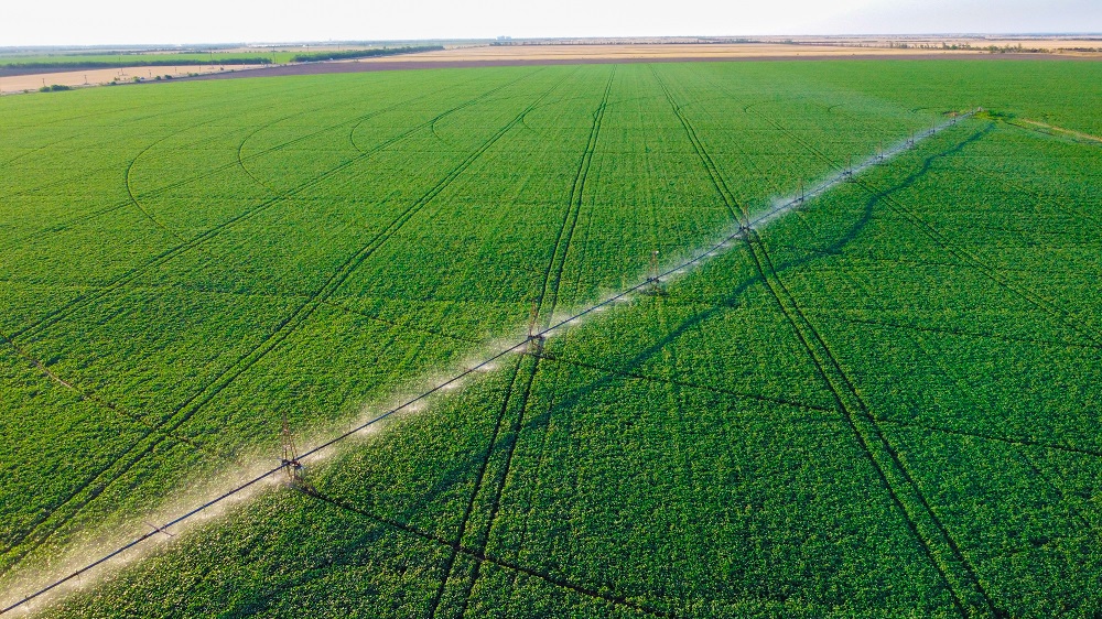
Vegetation and Moisture Analysis Using RGB Indices (VARI / TGI)
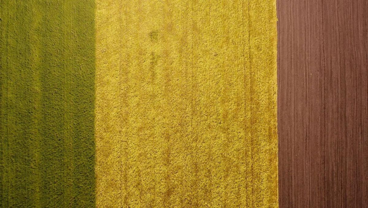
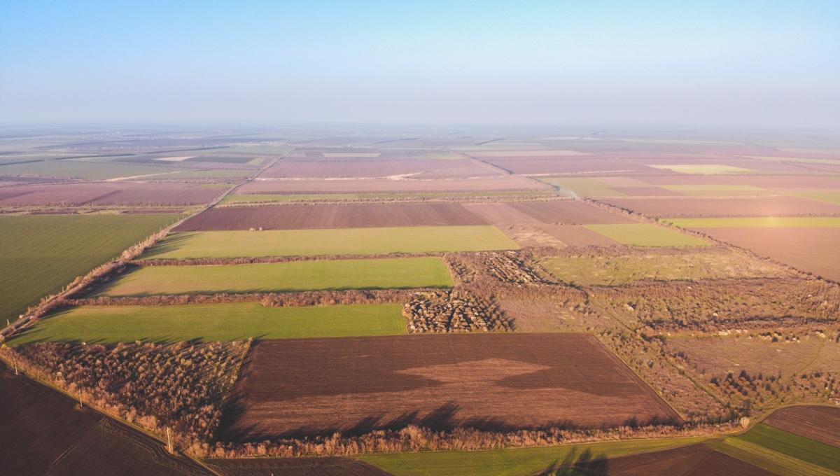
Technical Rationale: There are indices such as VARI (Visible Atmospherically Resistant Index) and GLI (Green Leaf Index). They are calculated based on the standard red, green, and blue channels of a regular camera. They make it possible to clearly see where plants are healthy and hydrated (bright green) and where the soil has dried out and erosion is beginning (brown-gray zones).
Who it is for: Farmers who want a quick and cost-effective way to find dry problem areas in their fields without ordering expensive multispectral imaging.
-
Категорія
Damage Assessment and Mapping of Natural Disaster / Fire Consequences
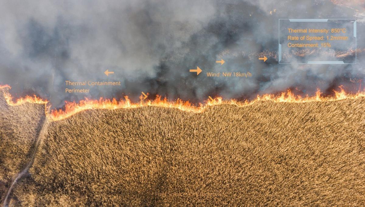
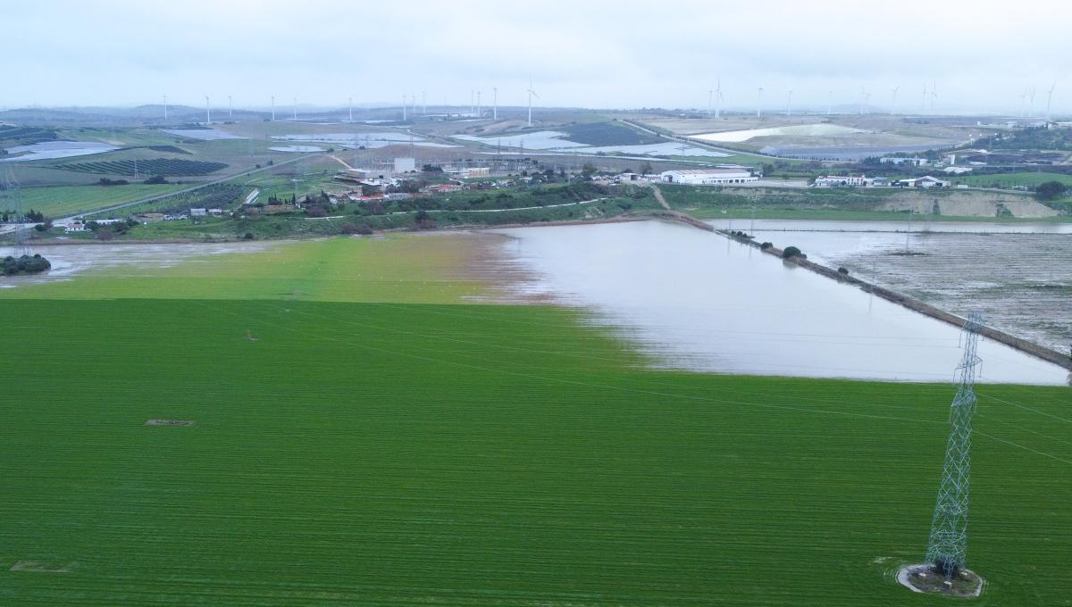
Technical Rationale: After fires, windstorms, or flooding, it is crucial for farmers to obtain an accurate orthomosaic of the damaged areas to submit documents to insurance companies or government agencies. A standard drone performs a detailed survey of the burned area, from which a precise map of the damage is created, showing the exact boundaries of the affected crops in square meters.
Aerial filming of the harvesting process addresses two critical tasks for modern agribusiness:
1. Creating Promotional and Brand Content:
Footage of large-scale harvesting with combines in motion serves as the foundation for corporate presentation videos of agricultural enterprises, investor reports, social media content, and websites of farm machinery manufacturers. Dynamic high-resolution filming effectively highlights the scale and technological advancement of your business.
2. Operational Control and Logistics:
Drone filming allows managers and agronomists to evaluate work progress in real time. It serves as a tool to monitor machinery trajectories, detect skipped spots during harvesting, coordinate grain trucks directly in the field, and prevent unauthorized machinery downtime.
tags: field monitoring, drone agriculture, RGB indices, crop health, agricultural mapping, damage assessment, harvesting